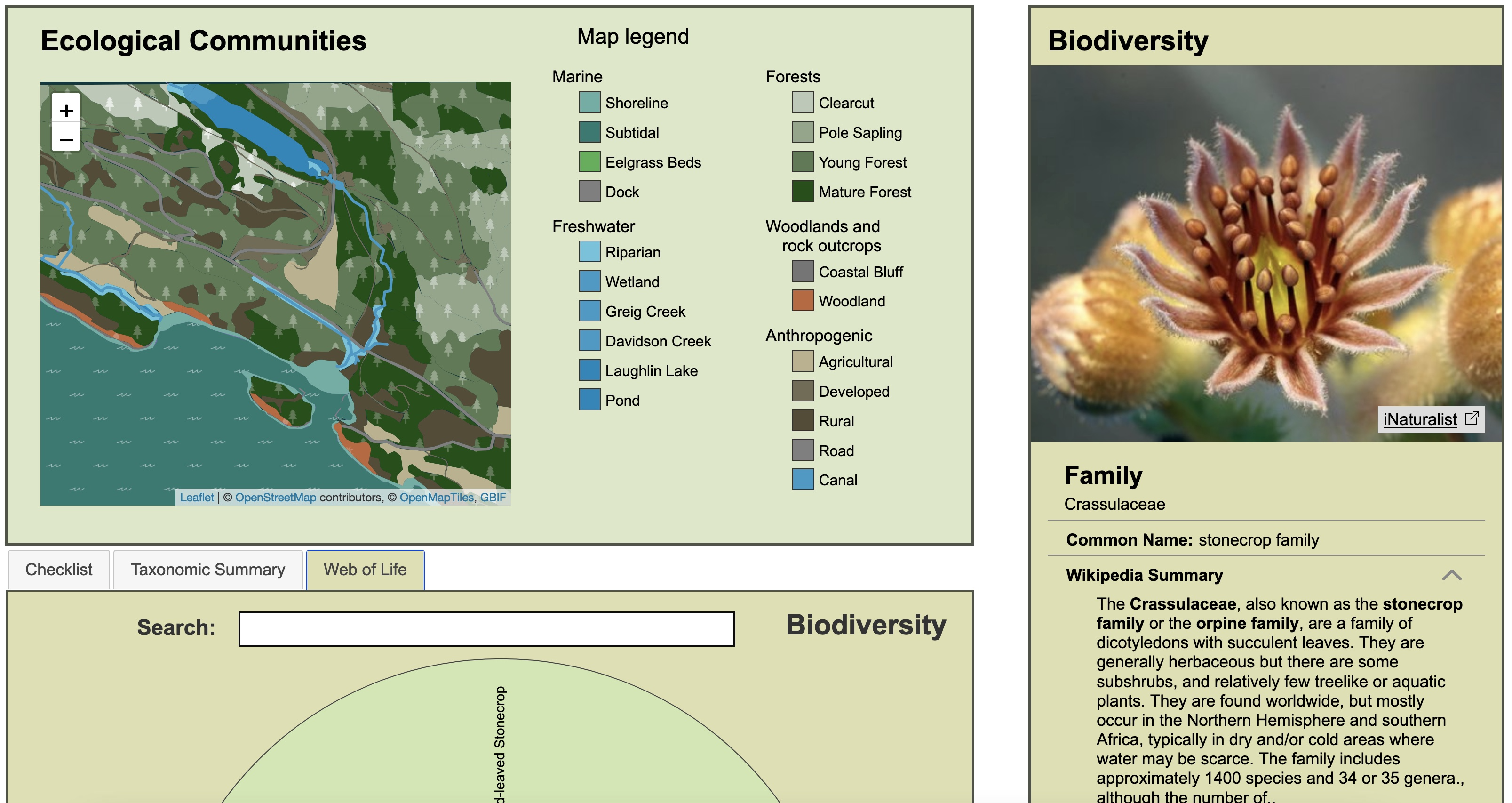
The Ecocultural Mapping Project is an interdisciplinary, participatory and inclusive digital mapping project that aims to meaningfully braid together Indigenous ways of knowing and Western ecological science to create an interactive, educational, ecocultural map of Retreat Cove (Xetthecum in the Hul’qumi’num language), on Galiano Island, BC, Canada. The interactive map documents Xetthecum’s sensitive ecosystems and cultural keystone species, and integrates various sources of information including historical and contemporary biodiversity data, terrestrial ecosystem mapping, written and spoken Hul’qumi’num, and stories of place and other audio and visual media. It will serve as an educational tool that will support Indigenous youth and others in learning the Hul’qumi’num language. It will also support those studying ecology and bioscience to learn about the regional biodiversity, the ecological communities in which different species live, and the ecological and cultural values of those species and communities.
The Ecocultural mapping tool fosters open access to science, scholarship, technology and art. It promotes intergenerational, cross-cultural, multidisciplinary, and transboundary skill-sharing and knowledge exchange. The mapping tool provides a resource that learners themselves can contribute to as citizen scientists, with their own data, observations and knowledge. As an open educational resource, the tool will provide information about species and ecological communities, while at the same time protecting sacred Indigenous knowledge through controlled access to certain information as desired by the community. In addition to photographic documentation, it will feature artwork from local Indigenous artists and youth. It will serve as a tool to support the gathering of place-based stories from elders and others in the community. The tool will also promote ecocultural mapping as a professional conservation practice among the next generation of land stewards.

The Ecocultural Mapping project is following a pluralistic data model that can help build a foundation for more inclusive AI and a more community-driven conception of data, which expands upon OER concepts of reuse while respecting cultural boundaries. This approach supports data that can be adapted, modified, and remixed without losing information about its provenance or original authorship–and which can express limits or conditions on culturally-respectful use and sharing. A pluralistic data infrastructure can support communities in taking collective ownership of data that relates to them and in curating its relationships with data from other sources. This supports communities in presenting and explaining their own data to others, as well as supporting them when they encounter automated decision-making systems. For more information, read the WeCount article.

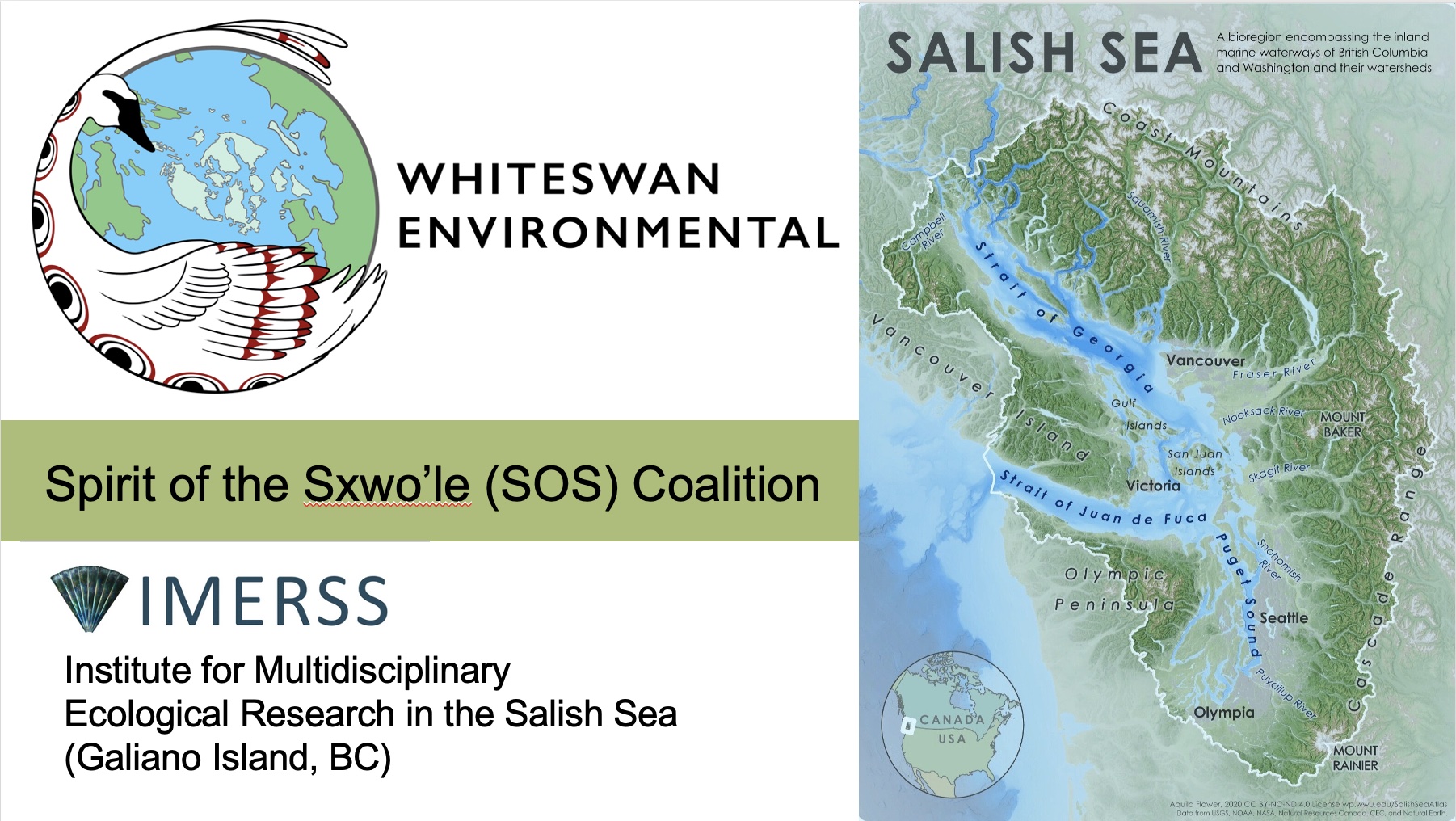
The Xetthecum map is part of a larger initiative begun by Whiteswan Environmental (WE), who are working collaboratively on several Indigenous-led projects that support community healing through the natural, cultural and historical restoration of the Salish Sea. The aim of this collaborative work is to restore traditional Indigenous practices and access to place, supporting thriving cultures and coastal ecosystems for future generations. WE initiated the Spirit of the Sxwo’le (SOS) Coalition and through this coalition are collaborating with IMERSS (the Institute for Multidisciplinary Ecological Research in the Salish Sea) and developing a Memorandum of Agreement and bylaws that will help to ensure that all partners in this work respect Indigenous leadership and abide by appropriate cultural sensitivity, cultural humility and cultural safety protocols. WE believe this endeavor will offer a measure of cultural, historical and ecological health protection and sustainability that can be modeled across the United States and Canada.
